Portal GEOLOGIA
The map Portal GEOLOGIA is an example of a modern technological solution in the service of geology. Based on mapping services provided from the largest geological database - CBDG, Portal GEOLOGIA creates opportunities to reach even very detailed data directly from the map. At https://geologia.pgi.gov.pl, in one place there is a lot of knowledge from many fields geology - the effect of fieldwork and research of many generations of geologists.
The data resources divided into thematic categories can be easily viewed in many ways. The portal allows you to construct spatial queries and search for interesting content using forms. The searchable information is available in the form of tabular lists with the option of sorting and exporting to a file. The map compositions created during the work can be saved as well as generate a code ready for them to be embedded on other websites..
Quick Reference Guide of Portal GEOLOGIA
- Click - displaying information and selected object in the pop-up window. In this window there are links: "..." expanding the list of browsing options, Zoom to and there may be an additional link See more redirecting to other domain applications with a wider range of information about the object.
- Dubble click - zoom.
- Turning the mouse wheel - zoom in/zoom out.
- Drag - move the map.
Menu left
- Zoom in - enlarging the scale of the map.
- Zoom out - reducing the scale of the map.
- Default range - return to the initial map view.
- My location - using the GPS signal or local Wi-Fi network, you can move and zoom the map to the location where you are.
- Previous view - back to the previous map view.
- Next view - move to the next map view.
- Measurement - distance and surface measurements or coordinate search of a point.
- Klasyfikowanie - wybieranie obiektów na mapie.
- Analiza zdarzenia - wykonywanie analiz przestrzennych.
- Classify - selecting objects on the map.
- Find the address or place - search locations, address, for example: Babia Góra, Warsaw, ul. Rakowiecka 4 and by the following coordinates: decimal degrees (DD), ie for example. 52.208853, 21.013119.
Menu right
- Information - information about data sources.
- Help - information about application functionalities.
- Query - searching for objects according to their attribute and spatial data.
- Add data - adding new thematic layers.
- Legend - descriptions of objects displayed on the map.
- List of layers – enable or disable visibility of layers within map services and customize their transparency.
- Bookmark - saving the map composition in the form of a view that can be loaded in the future.
- Base maps gallery – choose a base map.
- Share - different ways to share the currently viewed map:
- Ready code to embed a map on any web page,
- A link to a map that you can send, for example, by e-mail,
- Publish the map on social networks: Facebook, Twitter.
- Terms of use - conditions of use of published data.
- Contact - contact information.
Attributes table (bottom)
- Displays a tabular view of the attributes of objects from the thematic layers of the map
Attention!
Visibility objects on the map - Due to the high detail or very large number of objects in some layers, viewing them is only possible closer to a small enough part of Poland i.e. at larger scales.
The set of available functionalities (widgets) may vary, depending on the specific nature of the subject areas of the domain.
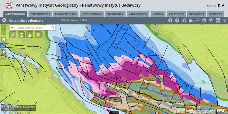
 Geological Mapping
 Groundwater
 Mineral resources
 Boreholes
 Geohazards
 Baltic geology
 Geophysics
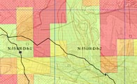 Building Construction
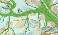 Geotourism
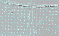 Geochemistry
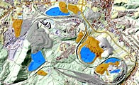 Heaps
Heaps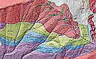 DGMT 1:10000
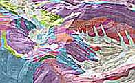 DGMT (NMT)
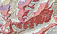 DGMT 3D - mapa zakryta
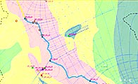 Waterprotect