CBDG GIS Application
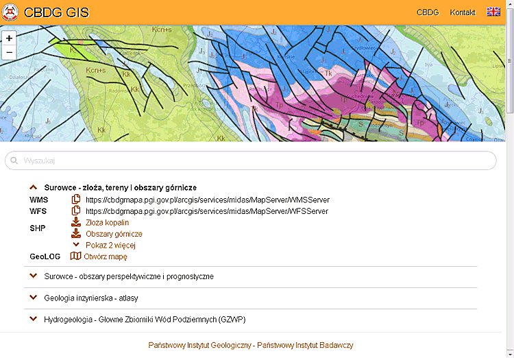
 CBDG GIS Application is used to efficiently search and browse the CBDG resources available in the network, where data from all fields of geology is stored. This application is based primarily on map services provided by the CBDG spatial data server. In addition, the application also presents data from other PIG–PIB servers: Hydrogeology and Environmental Geology.
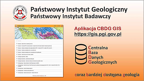
The application is available at: https://gis.pgi.gov.pl
In the application map window, you can preview live the content of a data set and the speed of it's map service. Depending on the specifics of the data, they can be available by the following services: WMS, WFS, REST. Additionally, spatial data can be ordered for download in the CBDG GIS application as a compressed shapefile (SHP). This functionality is implemented through another application, CBDG Download Manager, because in fact it is responsible for the process of handling orders for shapefiles. The CBDG GIS application mediates this operation via a popup of the file ordering form.
The application includes a very long and expanding list of spatial data sets from various fields of geology. They are grouped thematically, for example: Mineral resources, Geophysics, Hydrogeology, Baltic and others. A quick search for the necessary information is possible thanks to the search window, where, after entering a few letters, the user can easily reach a specific information resource. The case of the entered letters does not matter.
The CBDG GIS application is mobile-optimized site.
Information on the data formats provided
- WMS
- Wikipedia - https://en.wikipedia.org/wiki/Web_Map_Service,
- OGC - https://www.ogc.org/standards/wms.
- WFS
- Wikipedia - https://en.wikipedia.org/wiki/Web_Feature_Service,
- OGC - https://www.ogc.org/standards/wfs.
- SHP
- REST
- Esri ArcGIS API - https://developers.arcgis.com/rest/.
