 CBDG Geophysics Subsystem
The Central Geological Database Geophysics Subsystem the database contains data obtained as a result of various types of geophysical surveys carried out in Poland. Depending on their specificity, information about them may be found as data subsets in other CBDG Subsystems.
Acces to data
Archival geophysical reports
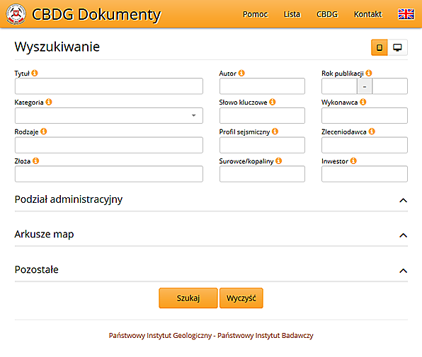
The basis of geophysical information collected in CBDG are geophysical reports stored in the Central Geological Archives (CGA). The CBDG Application Archival reports enables the users to search for data once they tick one of the following fields:
- Reports on geoelectricity,
- Reports on geophysics,
- Reports on gravimetry
- Reports on magnetics,
- Reports on radiometry,
- Reports on seismology,
- Reports on spectrometry.
The web application that provides the data from the CBDG Subsystem Archival reports has advanced functionalities for data search and retrieval. This subsystem contains catalogue data of archiva l geological reports from the CGA in Warsaw, its offices in the PGI regional branches and other archives in Poland. <?div>
Well–log data
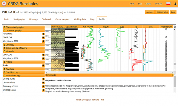
In CBDG well logging data are stored in LAS format. These data include carrotage and measurements for seismic. This data is closely related to the CBDG Boreholes Subsystem..
Geophysical drilling data from the GEOFLOG database (over 800 deep boreholes) was transferred to CBDG, as well as the available in PGI-NRI information about average speed in boreholes. In 2008, CBDG obtained the carrotage measurements from the "2008 holes verification" project. CBDG is constantly updated with new data coming to CGA with the geological documentation.
For viewing data, use the Profile Browser, which is a component of the CBDG Borehole application. It presents in graphical form as caroting curves selected by the user the results of geophysical measurements obtained from the borehole.
Legal regulations do not allow public Internet access to certain data from boreholes.
Petrophysical measurements on rock samples
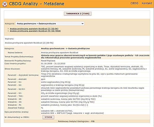 Petrophysical measurements is a collection of information about the tests on samples of rock. They are stored in the CBDG Analysis Subsystem. Here are the results of the parameter measurements:
- magnetic,
- density,
- acoustic,
- electric,
- permeability and porosity,
- radioactivity,
- flexibility,
- thermal.
Seismics
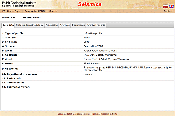
The CBDG collects metadata about 2D and 3D seismic surveys done in Poland. These are data on research done from the mid-1970s. CBDG Application Seismics dedicated to the seismic data allows searching and browsing in the tables and on the map information of seismic survays.
Surface geophysical measurements
The CBDG collects surface geophysical measurements data from research methods such as:
- Gravimetry,
- Aeromagnetics from the Carpathians and Sudetes,
- Magnetotellurics,
- T module measurement of the total magnetic field of the Earth,
- Magnetic field intensity measurements (the vertical component Z),
- Geoelectrical sounding – VES.
Geophysical spatial data
Map applications
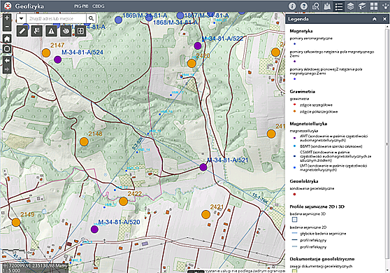
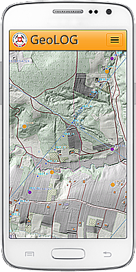
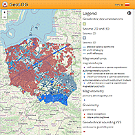
Map Portal GEOLOGIA i GeoLOG mobile application provide the following information layers containing the location of geophysical measurements:
- Geoelectric documentation from the ARGEOL database, maintained at SEGI-PBG in 1994-97, and from SGE measurements collected at the CBDG,
- Seismic 2D and 3D - metadata on seismic surveys have done in Poland from the mid-1970s to the end of 2007,
- Research Points - Gravimetry SGE geoelectric soundings - information about the results of geoelectric soundings,
- Research Points - Magnetism,
- Research Points - Magnetotellurics,
- Research Points - Gravimetry,
- Marine geophysical profiles.
Due to the large number of research points (about 800,000) in layers: "Magnetism" and "Gravimetry" and therefore long time map generation, viewing them is possible only on a larger scale, after selecting a fragment of Poland.
Map services: WMS, WFS, REST API
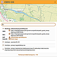
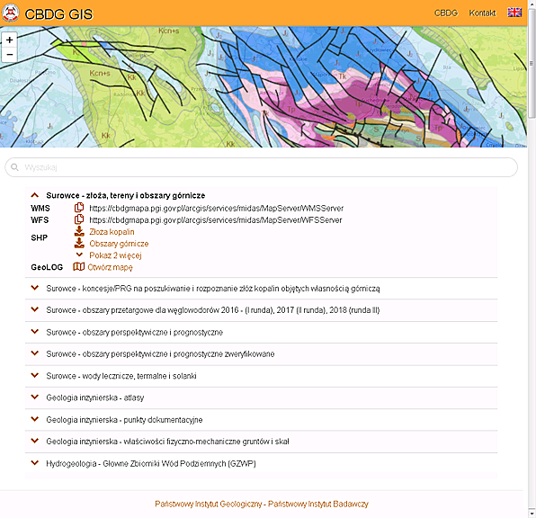 The CBDG spatial data server publishes map services containing information about geophysical surveys in the following standards: WMS, WFS and REST API. Application CBDG GIS is used to search and view network map services. The data made available in this way can be used in specialized applications that support this type of network services. This is also possible with the CBDG applications: GeoLOG and GEOLOGIA. List of mapping services with geophysical data:
- Geoelectric documentation from the ARGEOL database, maintained at SEGI-PBG in 1994-97, and from SGE measurements collected at the CBDG,
- Seismic 2D and 3D - metadata on seismic surveys have done in Poland from the mid-1970s to the end of 2007,
- Research Points - Gravimetry SGE geoelectric soundings - information about the results of geoelectric soundings,
- Research Points - Magnetism,
- Research Points - Magnetotellurics,
- Research Points - Gravimetry,
- Marine geophysical profiles.
Data download
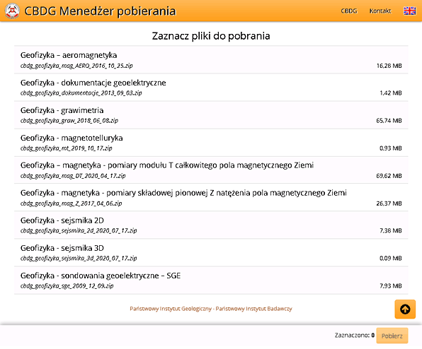
Spatial information on geophysical surveys can be downloaded in SHP format without the need to obtain a permit to access geological information. Downloading files is possible, among others, for the following geophysical thematic layers prepared by the Polish Geological Institute–NRI:
- Geophysics - geoelectric documentations
- Geophysics - aeromagnetics
- Geophysics - geoelectrical sounding – VES
- Geophysics - gravimetry
- Geophysics - magnetic field intensity measurements (the vertical component Z)
- Geophysics - magnetotellurics
- Geophysics - seismics 2D
- Geophysics - seismics 3D
- Geophysics - T module measurement of the total magnetic field of the Earth
Geomind - European geophysical portal
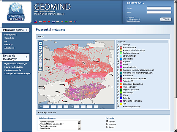 Closely cooperating with other PGI-NRI departments, the CBDG team actively participated in the international project called GEOMIND, prepared by a consortium of 12 partner institutions from 9 European countries. As a result, a multilingual Internet portal was established to integrate geophysical data obtained from resources of the countries involved in the initiative. As part of this project, an online multilingual portal was launched, integrating geophysical data from resources of individual countries involved in this project.
International standards for the representation of both metadata and detailed data have also been prepared. This supports the further integration and dissemination of European or global geoinformation resources. Project closed, closed.
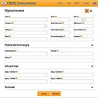 CBDG Archival reports App.
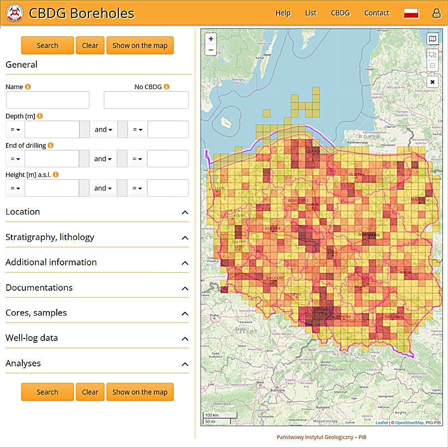 CBDG Boreholes App.
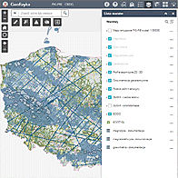 CBDG GEOLOGIA Portal
 CBDG GeoLOG App.
 CBDG GIS map services
 CBDG Download Manager